Was the Isle of Wight a target for direct invasion by German troops?
It’s one of those questions that still arouses deep feeling. When the war began my father was a two-year old resident in Newport’s Orchard Street, and my mother born in Portsmouth just nine-months before declaration of war, was with her mother and siblings, evacuated from the city to the quaint island village of Godshill. To imagine them being faced with the jackbooted troops of the Nazi regime, storming the beaches, pounding defences with naval fire and knots of airborne combatants popping up inland, is quite frankly, a repulsive thought.
According to the late Adrian Searle, local researcher, historian and author, there is tenuous evidence that just once, in August of 1943, a seaborne raid took place in which German troops attempted to destroy the radars on St. Boniface Down. For sure it’s a readable yarn. Either the raid failed, or it never happened, but nevertheless it remains a source of controversy, aided by its publication under the title Churchill’s Last Wartime Secret.

Operation Sea Lion, Hitler’s planned invasion of the British Isles, was an altogether massive proposition – and I don’t state British Isles in error, original German Oberkommando (High Command - OKW) documents from 1940 include detailed photography, plans and street maps of England, Wales, Scotland, Northern Ireland, and yes, the Republic of Ireland too.
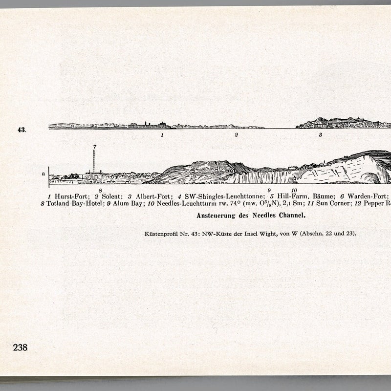
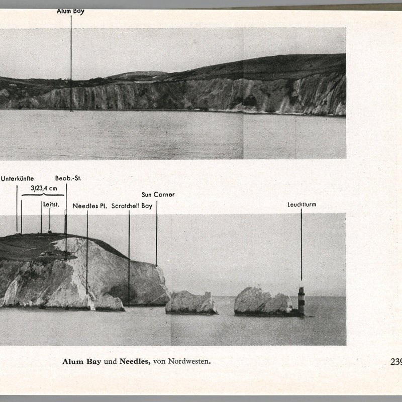
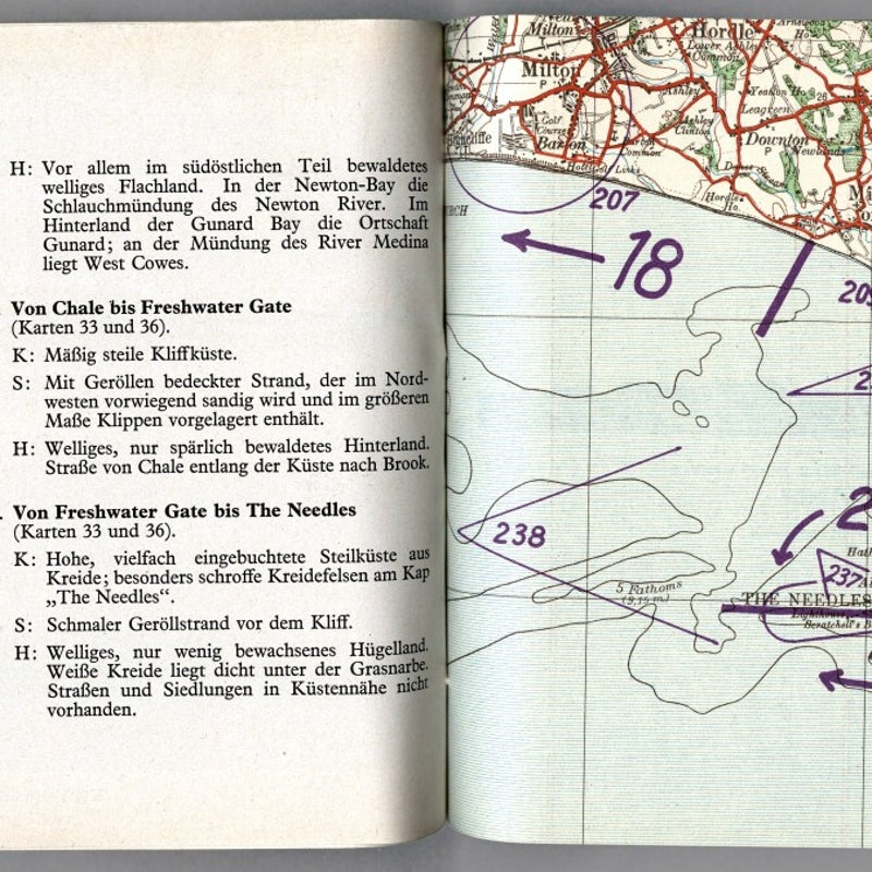
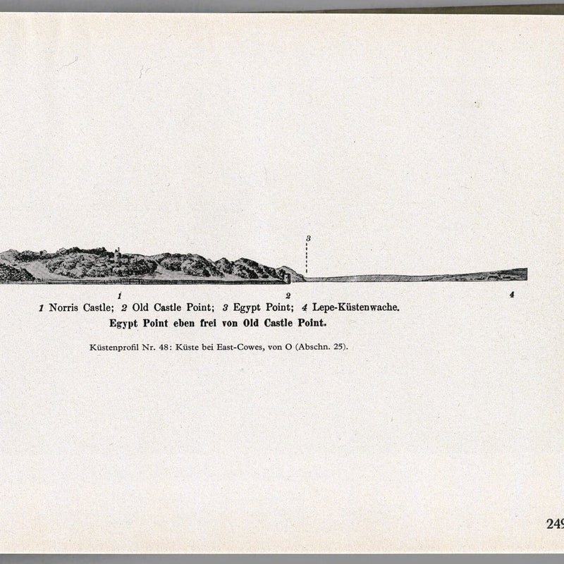
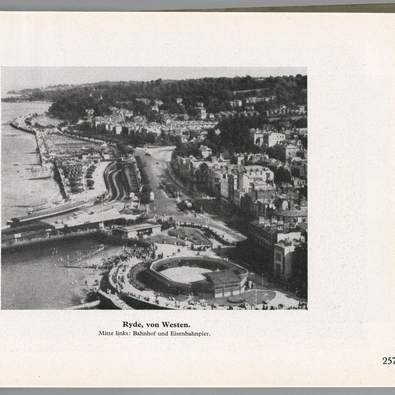
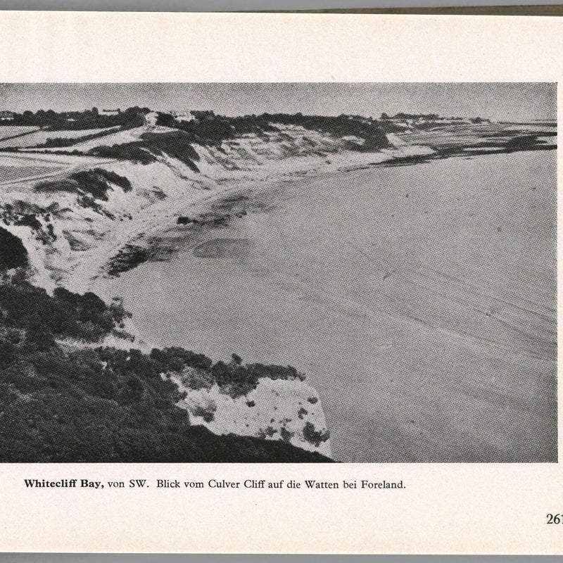
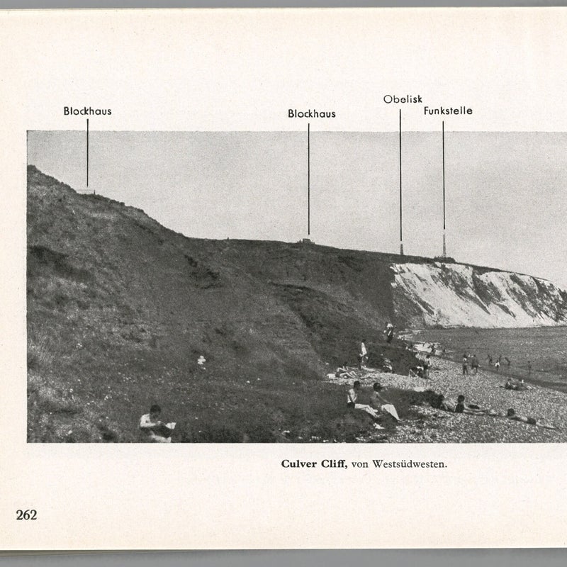
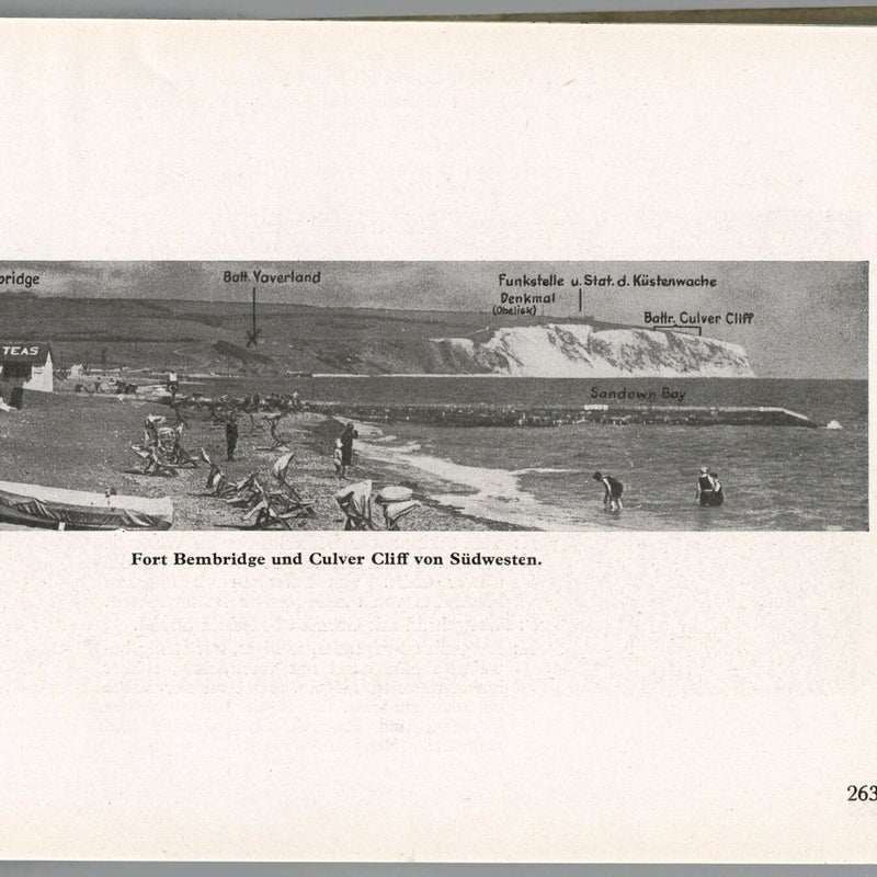
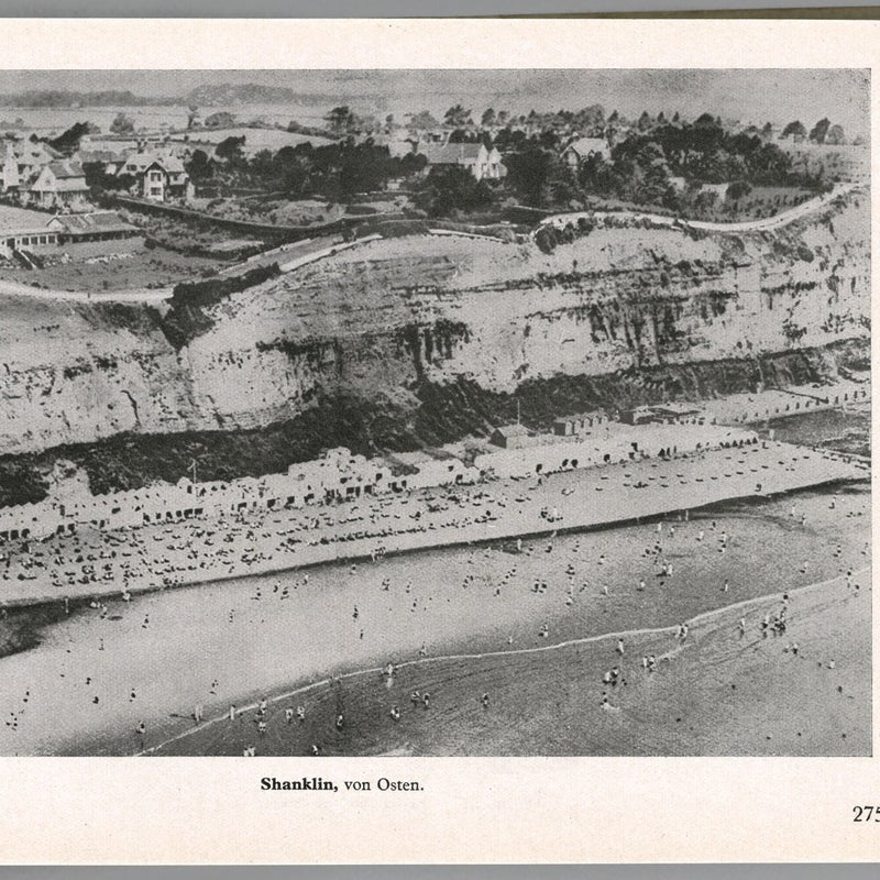
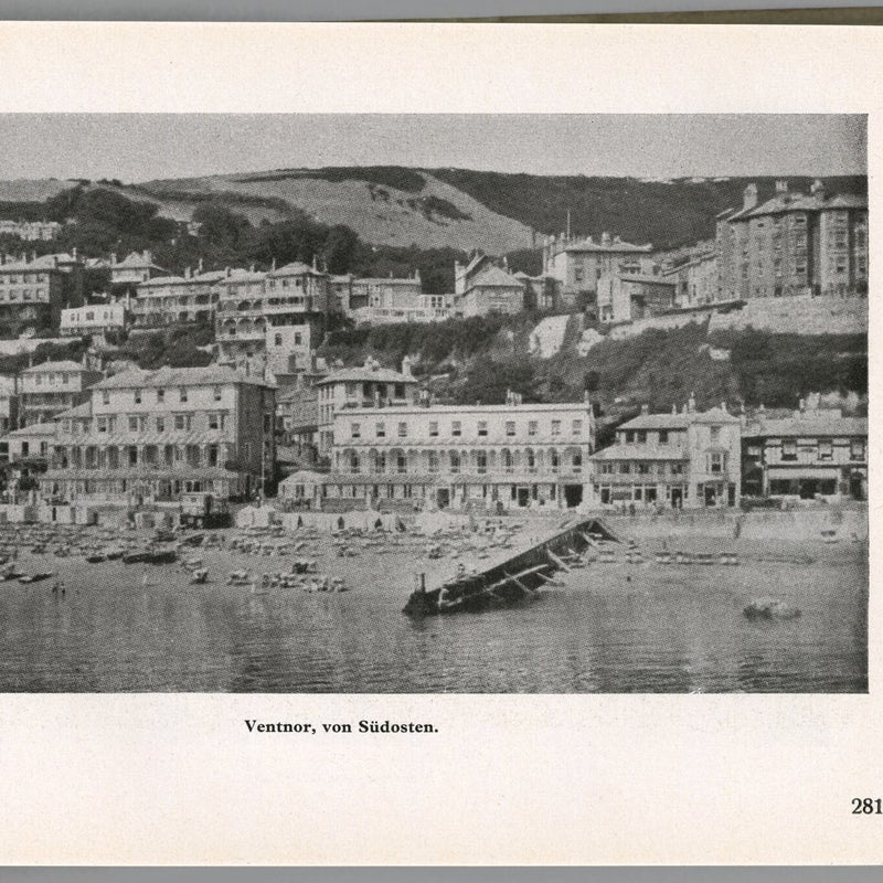
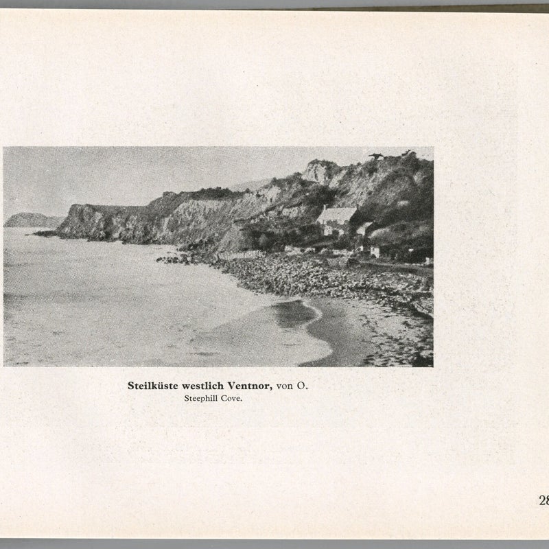
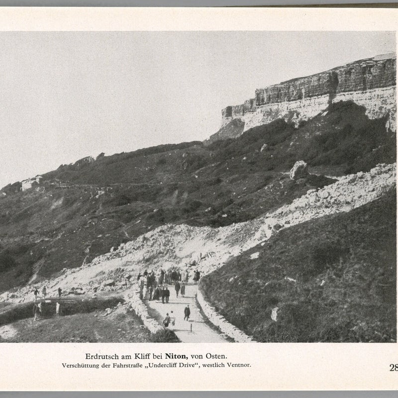
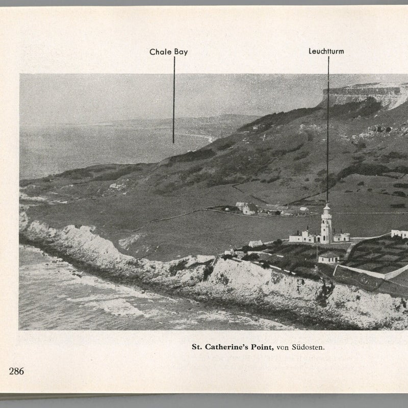
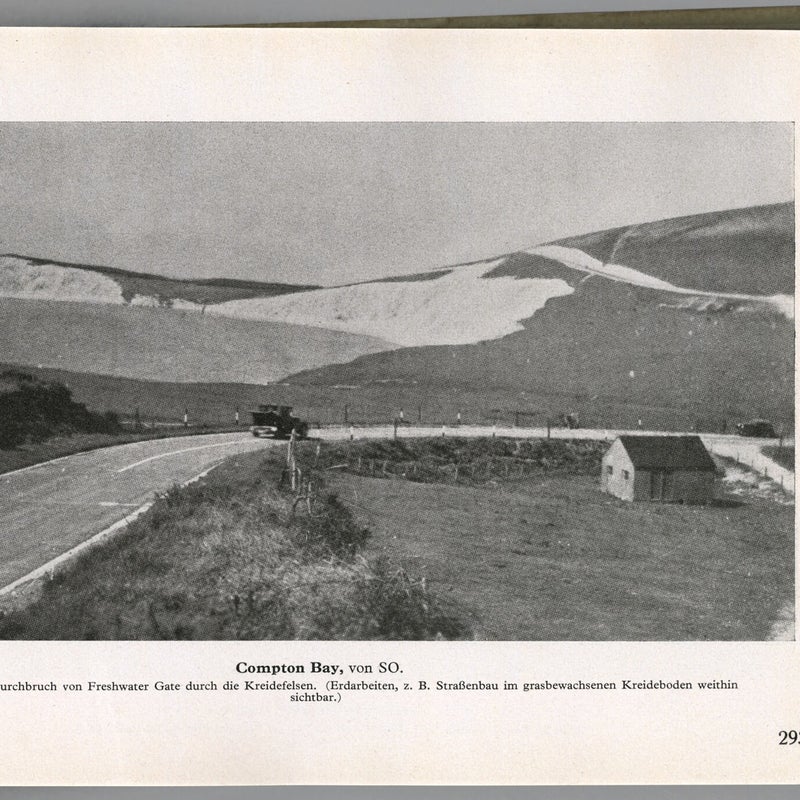
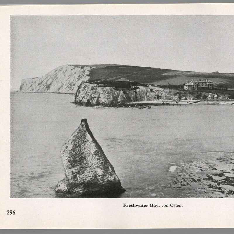
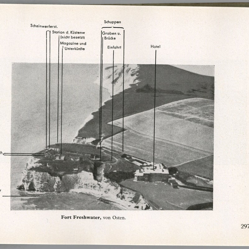
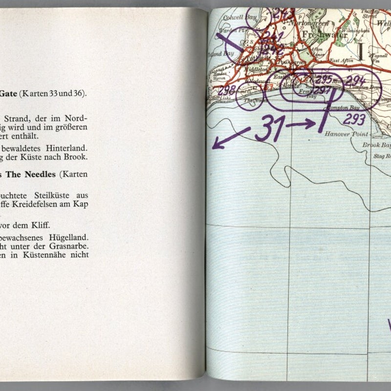
Militargeographische Angaben uber England – Sudkuste – (Military geographical information about England - South Coast) is No.11 of twelve major document files produced by the OKW in 1940. It contains many hundreds of pages studying the south coast from the Isles of Scilly in the west to Kent in the east. Roughly in the middle of the file, pages 237 to 301 feature the Isle of Wight.
The information covering the island is no greater or lesser in detail than any other, there is nothing to hint that the islands inclusion was anything more than German efficiency. But Robert Forczyk thinks otherwise.

Lt. Col. Robert Forczyk (Retd.) has a PhD in International Relations and National Security and a strong background in European and Asian military history. He served 18 years as an officer in the US 2nd and 4th infantry divisions and as an intelligence officer in the 29th Infantry Division. In retirement he has researched, written, and published many tomes of military history.
In 2016 Osprey Publishing released We March on England, Forczyk’s proclamation of how Operation Sea Lion was scheduled to play out. His theory has been received with controversy and speculation - the author is too interested in just his own arguments and a bit self-absorbed; implausible theories of German naval capabilities; contrarian revisionist crap. Whereas for others it appealed - the author smartly brings together a quantitative and qualitative analysis; He looks carefully at both sides of the event; a well-researched book.
Right or wrong, the fact remains that Chapter 8 of We March on England is titled The Isle of Wight Gambit.
In the opening paragraph Forcyzk states – On 13 July (1940) Hitler was the first to suggest to Halder* the possibility of a raid on the Isle of Wight. Three days later, this idea was incorporated into Fuhrer Directive No.16.
*General Franz Halder, Chief of Staff of German Army High Command
Fuhrer Directive No.16, dated 16 July 1940, was issued under the title On Preparations for a Landing Operation Against England. The Isle of Wight is mentioned twice in the text, firstly in the opening paragraph of Part 1 - The landing will be in the form of a surprise crossing on a wide front from about Ramsgate to the Isle of Wight. The second mention, later in Part 1, is vague but comprised the foundation for Forczyk's research - The possible advantages of limited operations before the general crossing (for example, occupation of the Isle of Wight or of the county of Cornwall), are to be considered from the point of view of each branch of the Armed Forces and the results reported to me (Hitler). I reserve the decision to myself.
From his research Forczyk asserts that the Isle of Wight was identified as a platform from which Germany could launch continued attacks on the British mainland with little resistance. He estimated that a modest force of two divisions (approx. 25,000 troops) could overwhelm and hold the island long enough to allow a massive influx of reinforcing resources.
Forczyk stated the paltry defences of the island comprised three regular infantry battalions, a training battalion, and five Companies of Home Guard, in addition to two regiments of coastal artillery (including my grandfather Sergeant Sidney Corr) and that the military on the island possessed insufficient motorised transport, no field artillery, tanks or armour of any sort.
Accepting that the outcome of the Battle of Britain compelled Hitler to postpone Sea Lion indefinitely, Forczyk insists that the Isle of Wight represented a tantalising opportunity for the Nazi’s to claim a victory of sorts in a style similar to the taking of the Norwegian coastal district of Narvik in the early summer of 1940, and provided an alarming chronology of how the assault would proceed.
Crossing 75-miles from Cherbourg in three hours, a regiment of storm troops would arrive at Bembridge, whilst simultaneously gliders and paratroopers descended on the airport* and at Culver. With the beachhead established, Mountain Troops would follow in assault boats while the Luftwaffe held off attempts at seaborne intervention by the Royal Navy. St. Helens Home Guard were the next scheduled to fall as further paratroopers dropped on Nodes Point. Meanwhile Luftwaffe bombers in waves would pulverise Isle of Wight ports to disrupt any attempt to reinforce the defenders.
At dusk two further German convoys would set out from the French coast. Equipped with panzers, artillery, anti-aircraft units, engineers and a mass of supplies, the nocturnal landings would secure the easterly point of the island. By the end of Day 2, as many as 4,000 German troops would be installed.

The German assault on Narvik - a model for a similar operation against the Isle of Wight, suggests Forczyk.
*Regarding the successful landing of gliders at Bembridge Airport, many years ago, circa 1999, I was employed by Britten-Norman at the airport where one of my early morning duties was to inspect the runway surface and associated facilities before opening for aviation business. This task could be achieved by vehicle but as I enjoyed it I'd often go in very early and carry out the task on foot. Early one morning I was at the extreme west boundary of the airfield carrying out this task when I happened across the landowner, John Taylor of Bembridge Farm, who was out with his Labrador. We got chatting and he told me to look across the airfield towards the east. It was early morning, the grass was in heavy dew and the low sun was highlighting some peculiar dark lines that bisected the field from north to south. He advised me that the lines were the rarely seen ghosts of an extensive network of trenches dug across the old grass runways to prevent their use by the enemy during the war. I have never seen photographic evidence of this but I trust Mr, Taylor's memory and I could clearly see the effect for myself. Having been alerted to it I actively looked and saw it again on mornings of matching conditions. This suggests that Forczyk's assertion of the Germans planning glider landings on the airfield is questionable. Additionally there is no mention or markings highlighting Bembridge Airport in the page featuring the East Wight map in Militargeographische Angaben uber England, as featured below.
According to Forczyk, weakened by the invasion, remaining British forces would retreat to the west allowing the Germans to establish a line from Cowes, along the Medina and southwards, having a firm grip of East Wight and unhindered in their continued reinforcement. When sufficient resources were in place, the Germans would step across the line of demarcation and take the West at their leisure.
Forczyk emphasises in his summary that, in his opinion, the state of defences on the Isle of Wight rendered a situation in which – there was very little that the British could do to stop this.
What we know, notwithstanding the limited possibility that Adrian Searle really did reveal a Churchill secret, is that the only Germans to set foot on the Isle of Wight during the conflict were downed pilots who had been fortunate enough to stumble away from their stricken aircraft.
Nevertheless, the fact remains that 64 pages of Militargeographische Angaben uber England, was dedicated to information that would have been useful in planning any of the above.
An intriguing aspect of the content of those pages is that a great deal is owed to aerial reconnaissance, yet a substantial number of the photographs were not taken from the air but with feet firmly planted on the island. These may have been extracted from postcards or similar. Or perhaps the notorious Dorothy O’Grady, another of Searle’s subjects (The Spy Beside the Sea) was more than just a wild fantasist and really was supplying Germans with information from the unlikely confines of her Sandown home. Additionally, by 1937, M.I.5 was becoming increasingly concerned about the activities of Hitler Youth groups enjoying cycling trips in Britain, such that the Press coined the phrase spyclists. In July 1935 forty of them disembarked a liner at Southampton, twenty cycled off to unknown destinations and the other half crossed the Solent to visit the Isle of Wight, before the contingent regrouped on the mainland and travelled to London for a spot of sightseeing.
From where, and by whose hand, the Isle of Wight references of OKW File No.11 originated we probably shall never know, but all 64 pages of it are featured below. Although I haven't gone to the effort of translating the captions, anyone with knowledge of the island will easily be able to identify the locations, which thankfully were never used for German military operations and today, if nothing else, represent a neat album of what our island's coastal regions resembled in the 1930's.
In addition, I have located the following four pages, but I'm yet to ascertain which of the OKW files they originated from, and if it contains more of a local interest.


